
Keg River topographic map
Interactive map
Click on the map to display elevation.
About this map
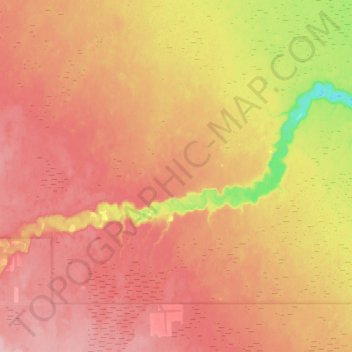
Name: Keg River topographic map, elevation, terrain.
Location: Keg River, County of Northern Lights, Alberta, Canada (57.74616 -117.57761 57.82646 -117.28597)
Average elevation: 379 m
Minimum elevation: 307 m
Maximum elevation: 422 m
Other topographic maps
Click on a map to view its topography, its elevation and its terrain.
Peace River
Canada > Alberta > County of Northern Lights
Peace River, County of Northern Lights, Alberta, Canada
Average elevation: 342 m
Keg River
Canada > Alberta > County of Northern Lights > Keg River
Keg River, County of Northern Lights, Alberta, Canada
Average elevation: 401 m