Geolocate

Chilton topographic map

Click on the map to display elevation.

About this map

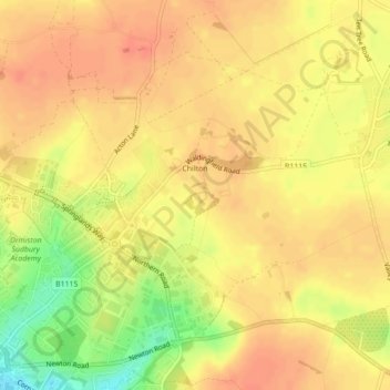
Name: Chilton topographic map, elevation, terrain.

Location: Chilton, Sudbury, Babergh, Suffolk, England, United Kingdom (52.04052 0.74012 52.06050 0.77743)

Average elevation: 62 m

Minimum elevation: 29 m

Maximum elevation: 76 m

Gear up for your next adventure:

🎒Hiking Daypack - Lightweight and durable backpacks for day trips and excursions
🦟Insect Repellent - Keep mosquitoes and black flies away in wooded areas
🧭Orienteering Kit - Tools for map reading and navigation in the wild
🥾Approach Boots - Comfortable boots for hiking and climbing approaches
🔥Camping Stove - Portable stoves to cook outdoors with ease

As an Amazon Associate, this site earns from qualifying purchases at no extra cost to you.