
El Encanto topographic map
Interactive map
Click on the map to display elevation.
About this map
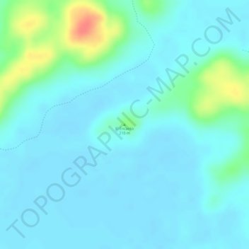
Name: El Encanto topographic map, elevation, terrain.
Location: El Encanto, Flores, Petén, Guatemala (17.26416 -89.54517 17.26426 -89.54507)
Average elevation: 223 m
Minimum elevation: 211 m
Maximum elevation: 270 m
Other topographic maps
Click on a map to view its topography, its elevation and its terrain.
Laguna Petenchel
Laguna Petenchel, Carretera a San Miguel, Zona 1, Santa Elena, Flores, Petén, 17001, Guatemala
Average elevation: 137 m