Geolocate

Anderson Island topographic map

Click on the map to display elevation.

About this map

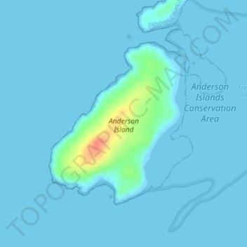
Name: Anderson Island topographic map, elevation, terrain.

Location: Anderson Island, Flinders Council, Tasmania, Australia (-40.31264 148.09740 -40.29507 148.11607)

Average elevation: 4 m

Minimum elevation: 0 m

Maximum elevation: 54 m

Other topographic maps

Click on a map to view its topography, its elevation and its terrain.

Moonlight Hill

Australia > Tasmania > Tasman

Average elevation: 144 m

Freycinet Peninsula

Australia > Tasmania

Average elevation: 303 m

Bell Mount

Australia > Tasmania

Average elevation: 541 m

Gear up for your next adventure:

🧥Waterproof Jacket - Lightweight rain jackets for hiking and outdoor activities
💧Collapsible Water Bottle - Space-saving water bottle for outdoor activities
🐕Hiking Dog Pack - Let your canine companion carry their own water and food
🧴Sunscreen SPF - Broad-spectrum sunscreen for outdoor activities
🔋Lithium AA Batteries - Long-lasting power that performs in extreme cold

As an Amazon Associate, this site earns from qualifying purchases at no extra cost to you.