Geolocate

Moonlight Hill topographic map

Click on the map to display elevation.

About this map

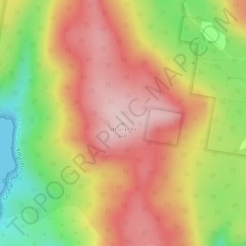
Name: Moonlight Hill topographic map, elevation, terrain.

Location: Moonlight Hill, Tasman, Tasmania, Australia (-43.17883 147.73165 -43.17873 147.73175)

Average elevation: 144 m

Minimum elevation: 0 m

Maximum elevation: 253 m

Gear up for your next adventure:

🕯️Camping Lantern - Illuminates your entire campsite with high-efficiency LEDs
🥾Waterproof Hiking Boots - Essential footwear for rugged terrain and wet Canadian trails
🔋Emergency Crank Radio - Weather alerts and power without needing batteries
🛌Insulated Sleeping Pad - Critical thermal barrier between you and the cold ground
🧢Outdoor Visor - Breathable visor for sunny hikes

As an Amazon Associate, this site earns from qualifying purchases at no extra cost to you.