Geolocate

Kampung Atap topographic map

Click on the map to display elevation.

About this map

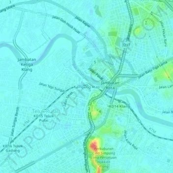
Name: Kampung Atap topographic map, elevation, terrain.

Location: Kampung Atap, Klang City, Klang, Selangor, 41400, Malaysia (3.02649 101.42210 3.06649 101.46210)

Average elevation: 7 m

Minimum elevation: -1 m

Maximum elevation: 52 m

Other topographic maps

Click on a map to view its topography, its elevation and its terrain.

Indah Island

Malaysia > Selangor > Klang City

Average elevation: 3 m

The Boss

Malaysia > Selangor > Klang City

Average elevation: 9 m

Indah Island

Malaysia > Selangor > Klang City

Average elevation: 3 m

Bukit Kapar

Malaysia > Selangor > Klang City

Average elevation: 24 m

Gear up for your next adventure:

🧤Rechargeable Heated Gloves - Extreme warmth for Canadian winter expeditions
💡Solar Camping Lamp - Eco-friendly lighting for campsites
🚲MTB Frame Bag - Carry tools and maps directly on your bicycle frame
🥾Approach Boots - Comfortable boots for hiking and climbing approaches
👟Leg Gaiters - Keep debris, mud, and snow out of your boots

As an Amazon Associate, this site earns from qualifying purchases at no extra cost to you.