Geolocate

Pass Lake topographic map

Click on the map to display elevation.

About this map

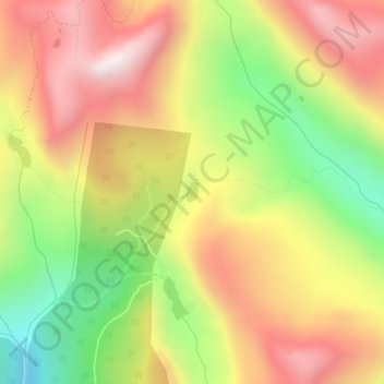
Name: Pass Lake topographic map, elevation, terrain.

Location: Pass Lake, Snohomish County, Washington, United States (48.11905 -121.51563 48.12051 -121.51435)

Average elevation: 1,167 m

Minimum elevation: 677 m

Maximum elevation: 1,605 m

Other topographic maps

Click on a map to view its topography, its elevation and its terrain.

Gear up for your next adventure:

🏃Hydration Running Vest - Carry water and maps close to your body for speed
🔋Lithium AA Batteries - Long-lasting power that performs in extreme cold
💧Filtered Water Bottle - Safe drinking water on the go
👟Sport Hiking Sandals - Breathable footwear for water crossings and camp rest
🦟Insect Repellent - Keep mosquitoes and black flies away in wooded areas

As an Amazon Associate, this site earns from qualifying purchases at no extra cost to you.