Geolocate

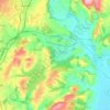
Raglan topographic map

Click on the map to display elevation.

About this map
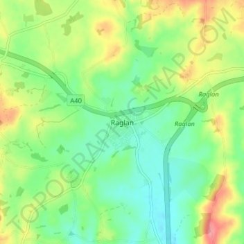
Name: Raglan topographic map, elevation, terrain.

Location: Raglan, Monmouthshire, Wales, NP15 2DR, United Kingdom (51.74505 -2.87406 51.78505 -2.83406)

Average elevation: 60 m

Minimum elevation: 27 m

Maximum elevation: 115 m

Other topographic maps

Click on a map to view its topography, its elevation and its terrain.
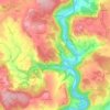
Llanbadoc

United Kingdom > Wales > Monmouthshire

Average elevation: 78 m

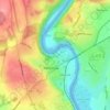
Wye Valley

United Kingdom > Wales > Monmouthshire

Average elevation: 167 m

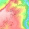
Penallt

United Kingdom > Wales > Monmouthshire

Average elevation: 174 m

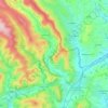
Crucorney

United Kingdom > Wales > Monmouthshire

Average elevation: 297 m

Blorenge

United Kingdom > Wales > Monmouthshire > Govilon

Average elevation: 394 m

River Monnow

United Kingdom > Wales > Monmouthshire

Average elevation: 172 m

River Monnow

United Kingdom > Wales > Monmouthshire

Average elevation: 172 m

Raglan Castle

United Kingdom > Wales > Monmouthshire > Raglan

Average elevation: 59 m

Gear up for your next adventure:

🥾Trekking Poles - Adjustable trekking poles to reduce knee stress and improve stability
🏕️Camping Hammock - Integrated protection for sleeping between trees
🪑Insulated Seat Pad - Protect your seat from cold rocks and wet logs
🧥Packable Rain Jacket - Breathable waterproof layer for unpredictable weather
🧢Beanie Hat - Keep your head warm in cold weather

As an Amazon Associate, this site earns from qualifying purchases at no extra cost to you.