
Barren Island topographic map
Click on the map to display elevation.
About this map
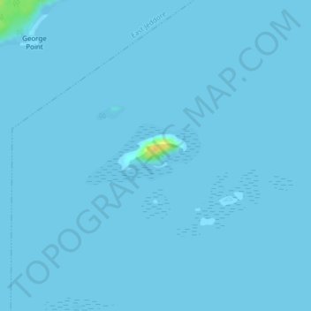
Name: Barren Island topographic map, elevation, terrain.
Location: Barren Island, Clam Bay, Nova Scotia, Canada (44.68850 -62.97459 44.68860 -62.97449)
Average elevation: 0 m
Minimum elevation: -1 m
Maximum elevation: 25 m
Nova Scotia trails, hiking, mountain biking, running and outdoor activities