Geolocate

Rackheath topographic map

Click on the map to display elevation.

About this map

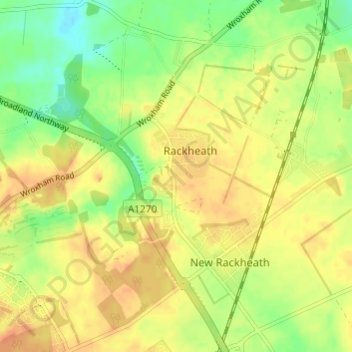
Name: Rackheath topographic map, elevation, terrain.

Location: Rackheath, Broadland, Norfolk, England, United Kingdom (52.65280 1.35147 52.68952 1.39337)

Average elevation: 26 m

Minimum elevation: 6 m

Maximum elevation: 40 m

Gear up for your next adventure:

Camping Essentials - All-in-one gear for a comfortable camping trip
🪑Insulated Seat Pad - Protect your seat from cold rocks and wet logs
🔭Compact Monocular - One-handed bird watching and trail spotting
🧢Hiking Sun Hat - Wide-brimmed protection for exposed mountain ridges
🧥Thermal Fleece Jacket - Versatile insulation for changing mountain temperatures

As an Amazon Associate, this site earns from qualifying purchases at no extra cost to you.