
Delidjan topographic map
Interactive map
Click on the map to display elevation.
About this map
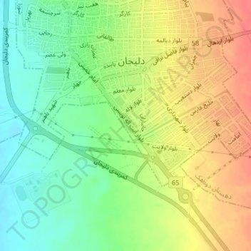
Name: Delidjan topographic map, elevation, terrain.
Location: Delidjan, بخش مرکزی, شهرستان دلیجان, Markazi, Iran, test (33.98025 50.68476 33.98177 50.68640)
Average elevation: 1,525 m
Minimum elevation: 1,498 m
Maximum elevation: 1,553 m
Other topographic maps
Click on a map to view its topography, its elevation and its terrain.
test
Iran > Markazi > شهرستان دلیجان > دهستان هستیجان
test, دهستان هستیجان, بخش مرکزی, شهرستان دلیجان, Markazi, Iran
Average elevation: 1,522 m