
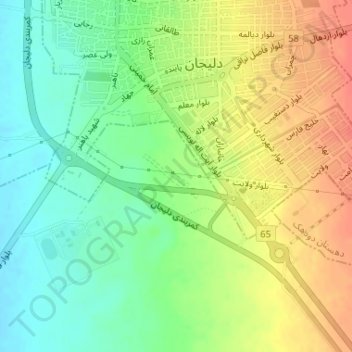
test topographic map
Interactive map
Click on the map to display elevation.
About this map
Name: test topographic map, elevation, terrain.
Location: test, دهستان هستیجان, بخش مرکزی, شهرستان دلیجان, Markazi, Iran (33.97770 50.68075 33.98088 50.68573)
Average elevation: 1,522 m
Minimum elevation: 1,497 m
Maximum elevation: 1,550 m