
Vegreville topographic map
Interactive map
Click on the map to display elevation.
About this map
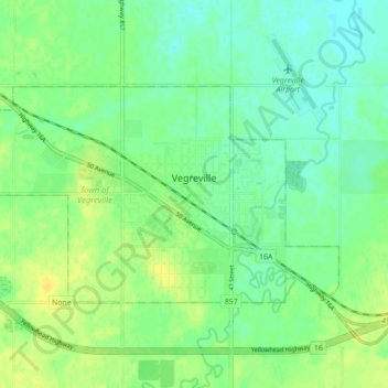
Name: Vegreville topographic map, elevation, terrain.
Location: Vegreville, Town of Vegreville, Alberta, Canada (53.48279 -112.10428 53.51270 -112.01663)
Average elevation: 638 m
Minimum elevation: 628 m
Maximum elevation: 650 m