
Daechi-dong topographic map
Click on the map to display elevation.
About this map
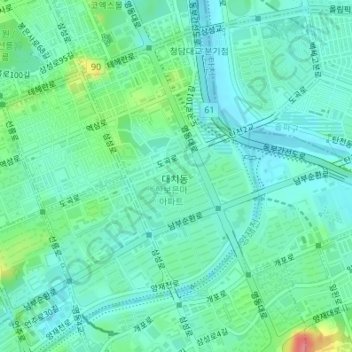
Name: Daechi-dong topographic map, elevation, terrain.
Location: Daechi-dong, Gangnam-gu, Seoul, South Korea (37.48764 127.04894 37.51030 127.08037)
Average elevation: 26 m
Minimum elevation: 6 m
Maximum elevation: 93 m
Other topographic maps
Click on a map to view its topography, its elevation and its terrain.