Geolocate

Ilwas topographic map

Click on the map to display elevation.

About this map

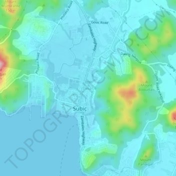
Name: Ilwas topographic map, elevation, terrain.

Location: Ilwas, Subic, Zambales, Central Luzon, 2209, Philippines (14.86208 120.21643 14.90208 120.25643)

Average elevation: 32 m

Minimum elevation: 0 m

Maximum elevation: 222 m

Other topographic maps

Click on a map to view its topography, its elevation and its terrain.

Mangan-vaca River

Philippines > Zambales > Subic > Ilwas

Average elevation: 33 m

Acid Lake

Philippines > Zambales > Subic

Average elevation: 390 m

Gear up for your next adventure:

🧢Sun Hat - Wide-brim hat for sun protection
🧢Hiking Sun Hat - Wide-brimmed protection for exposed mountain ridges
🛏️Sleeping Bag - Warm and compact sleeping bags for outdoor camping
🧥Fleece Jacket - Warm and lightweight jacket for layering
Family Camping Tent - Spacious tent suitable for family camping trips

As an Amazon Associate, this site earns from qualifying purchases at no extra cost to you.