Geolocate

Middleton topographic map

Click on the map to display elevation.

About this map
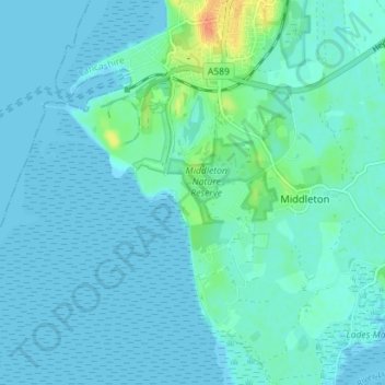
Name: Middleton topographic map, elevation, terrain.

Location: Middleton, Lancaster, Lancashire, England, United Kingdom (54.00655 -2.93835 54.03773 -2.86774)

Average elevation: 5 m

Minimum elevation: 0 m

Maximum elevation: 35 m

Gear up for your next adventure:

🛁Quick-Dry Microfiber Towel - Space-saving towel that dries rapidly on the move
🌬️Windproof Camp Stove - Efficient cooking even on exposed mountain peaks
🛶Canoe Life Vest - Safety vest for water sports
🩹Moleskin Blister Pads - Direct protection for painful foot pressure points
🧢Hiking Hat - Sun-protective and breathable hats for long treks

As an Amazon Associate, this site earns from qualifying purchases at no extra cost to you.