
Brock topographic map
Click on the map to display elevation.
About this map
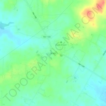
Name: Brock topographic map, elevation, terrain.
Location: Brock, Parker County, Texas, United States (32.65624 -97.96087 32.69624 -97.92087)
Average elevation: 264 m
Minimum elevation: 245 m
Maximum elevation: 307 m
Other topographic maps
Click on a map to view its topography, its elevation and its terrain.