
Kejimkujik National Park and National Historic Site of Canada (Seaside Adjunct) topographic map
Interactive map
Click on the map to display elevation.
About this map
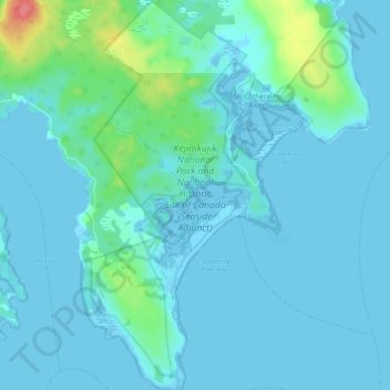
Name: Kejimkujik National Park and National Historic Site of Canada (Seaside Adjunct) topographic map, elevation, terrain.
Average elevation: 9 m
Minimum elevation: -5 m
Maximum elevation: 72 m