Geolocate

Bocholt topographic map

Click on the map to display elevation.

Bocholt

The climate in the region of Bocholt and West Münsterland is temperate with distinct maritime influences, with very mild winters in comparison to other German regions because of the proximity to the ocean and the low elevation. Summers are moderately warm. The average temperature in January is 2.7 °C (37 °F) and in July 18.4 °C (65 °F).

Wikipedia (CC-BY-SA 3.0)

About this map

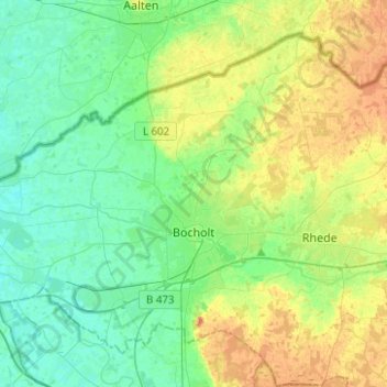
Name: Bocholt topographic map, elevation, terrain.

Location: Bocholt, Kreis Borken, North Rhine-Westphalia, Germany (51.78982 6.47251 51.91759 6.72119)

Average elevation: 31 m

Minimum elevation: 16 m

Maximum elevation: 60 m

Other topographic maps

Click on a map to view its topography, its elevation and its terrain.

W5

Germany > North Rhine-Westphalia > Kreis Borken > Bocholt

Average elevation: 32 m

W10

Germany > North Rhine-Westphalia > Kreis Borken > Bocholt

Average elevation: 32 m

Anholt

Germany > North Rhine-Westphalia > Kreis Borken

Average elevation: 18 m

Gear up for your next adventure:

💡Compact LED Flashlight - Powerful and portable flashlight for outdoor use
🛶Kayak Dry Bag - Waterproof storage for kayaking adventures
🧴Bear Spray Holster - Quick-access carry for essential Canadian wilderness safety
🥾Waterproof Hiking Boots - Boots keeping your feet dry in wet conditions
🥾Hiking Shorts - Breathable shorts suitable for summer hikes

As an Amazon Associate, this site earns from qualifying purchases at no extra cost to you.