Geolocate

Quantico topographic map

Click on the map to display elevation.

About this map
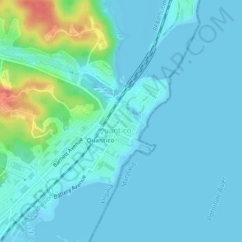
Name: Quantico topographic map, elevation, terrain.

Location: Quantico, Prince William County, Virginia, United States (38.52004 -77.29365 38.52562 -77.28666)

Average elevation: 11 m

Minimum elevation: -2 m

Maximum elevation: 66 m

Gear up for your next adventure:

🎒Hiking Daypack - Lightweight and durable backpacks for day trips and excursions
🧭Orienteering Kit - Tools for map reading and navigation in the wild
🛁Quick-Dry Microfiber Towel - Space-saving towel that dries rapidly on the move
📷Outdoor Action Camera - Capture high-elevation views and rugged adventures
🛶Kayak Accessories - Essential gear for safe and fun kayaking adventures

As an Amazon Associate, this site earns from qualifying purchases at no extra cost to you.