Geolocate

Nakamun topographic map

Interactive map

Click on the map to display elevation.

About this map

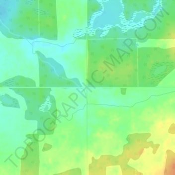
Name: Nakamun topographic map, elevation, terrain.

Location: Nakamun, Lac Ste. Anne County, Alberta, Canada (53.85115 -114.25969 53.87115 -114.23969)

Average elevation: 700 m

Minimum elevation: 685 m

Maximum elevation: 722 m

Other topographic maps

Click on a map to view its topography, its elevation and its terrain.

Isle Lake

Canada > Alberta > Lac Ste. Anne County > Summer Village of South View

Isle Lake, Summer Village of South View, Lac Ste. Anne County, Alberta, Canada

Average elevation: 759 m

Glenevis

Canada > Alberta > Lac Ste. Anne County > Glenevis

Glenevis, Lac Ste. Anne County, Alberta, Canada

Average elevation: 736 m

Hamlet of Gunn

Canada > Alberta > Lac Ste. Anne County

Hamlet of Gunn, Lac Ste. Anne County, Alberta, Canada

Average elevation: 730 m