
Dehcho Region topographic map
Interactive map
Click on the map to display elevation.
About this map
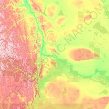
Name: Dehcho Region topographic map, elevation, terrain.
Location: Dehcho Region, Northwest Territories, Canada (60.00018 -129.16848 64.25151 -119.08350)
Average elevation: 558 m
Minimum elevation: 65 m
Maximum elevation: 2,473 m
Northwest Territories trails, hiking, mountain biking, running and outdoor activities
Other topographic maps
Click on a map to view its topography, its elevation and its terrain.
Sachs Harbour (Ikahuak)
Canada > Northwest Territories > Sachs Harbour (Ikahuak) > Sachs Harbour (Ikahuak)
Average elevation: 42 m