
Crowfoot Glacier Viewpoint topographic map
Interactive map
Click on the map to display elevation.
About this map
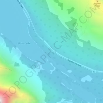
Name: Crowfoot Glacier Viewpoint topographic map, elevation, terrain.
Average elevation: 2,084 m
Minimum elevation: 1,933 m
Maximum elevation: 3,039 m
Improvement District No. 9 trails, hiking, mountain biking, running and outdoor activities
Other topographic maps
Click on a map to view its topography, its elevation and its terrain.