Manitoba topographic maps
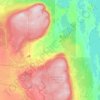
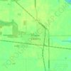
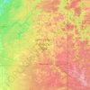
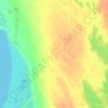
Click on a map to view its topography, its elevation and its terrain.

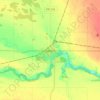
Souris
Canada > Manitoba > Division No. 7 > Municipality of Souris – Glenwood
Average elevation: 433 m


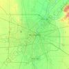
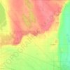
Winnipeg
Canada > Manitoba > Winnipeg > Winnipeg
Winnipeg lies at the bottom of the Red River Valley, a flood plain with an extremely flat topography. It is on the eastern edge of the Canadian Prairies in Western Canada and is known as the "Gateway to the West". Winnipeg is bordered by tallgrass prairie to the west and south and the aspen parkland to the…
Average elevation: 236 m
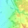
St. Malo
Canada > Manitoba > Division No. 2 > Rural Municipality of De Salaberry
Average elevation: 253 m

Booster Lake
Canada > Manitoba > Division No. 19 > Unorganized Division No. 19
Average elevation: 316 m

Kirkella
Canada > Manitoba > Division No. 6 > Rural Municipality of Wallace – Woodworth
Average elevation: 515 m


Pembina Valley Provincial Park
Canada > Manitoba > Division No. 4 > Municipality of Pembina
Average elevation: 414 m


Mount Nebo
Canada > Manitoba > Division No. 3 > Rural Municipality of Thompson
Average elevation: 395 m