Geolocate

Sungai Petani topographic maps

Click on a map to view its topography, its elevation and its terrain.

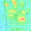
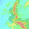
Ladang Sungkap Para

Malaysia > Kedah > Sungai Petani

Average elevation: 45 m

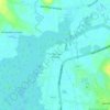
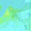
Darulaman Perdana

Malaysia > Kedah > Sungai Petani

Average elevation: 37 m

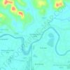
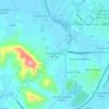
Sungai Layar Hujung

Malaysia > Kedah > Sungai Petani

Average elevation: 4 m

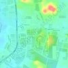
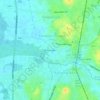
Bandar Mutiara Park

Malaysia > Kedah > Sungai Petani

Average elevation: 33 m

Kampung Pantai Perai

Malaysia > Kedah > Sungai Petani

Average elevation: 13 m

Hutan Rizab Sungkap

Malaysia > Kedah > Sungai Petani

Average elevation: 78 m

Sungai Pasir

Malaysia > Kedah > Sungai Petani

Average elevation: 5 m

Kampung Padang Temusu

Malaysia > Kedah > Sungai Petani

Average elevation: 28 m

Bakar Kapor

Malaysia > Kedah > Sungai Petani

Average elevation: 8 m

Gear up for your next adventure:

🥾Waterproof Hiking Shoes - Durable shoes for wet and rugged trails
🧦Outdoor Socks - Durable socks designed for hiking and outdoor sports
🪑Ultralight Camping Stool - Compact seating for rest stops during long hikes
🧥Thermal Layer - Insulating layer for cold outdoor conditions
🧢Sun Protection Cap - Breathable cap to protect from sun exposure

As an Amazon Associate, this site earns from qualifying purchases at no extra cost to you.