Spain topographic maps
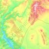
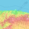
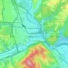
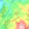
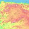
Click on a map to view its topography, its elevation and its terrain.




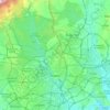
Madrid
Madrid lies in the centre of the Iberian peninsula on the southern Meseta Central, 60 km south of the Guadarrama mountain range and straddling the Jarama and Manzanares river sub-drainage basins, in the wider Tagus River catchment area. With an average altitude of 650 m (2,130 ft), Madrid is the second highest…
Average elevation: 671 m
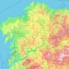
Galicia
The interior of Galicia is characterized by a hilly landscape; mountain ranges rise to 2,000 m (6,600 ft) in the east and south. The coastal areas are mostly an alternate series of rias and beaches. The climate of Galicia is usually temperate and rainy, with markedly drier summers; it is usually classified as…
Average elevation: 456 m
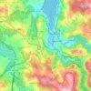
Betanzos
Calunio as a toponym fits well as an evolution of "calunia" the place where calumny somehow was associated to, for example a few fishermen depicting their fishery within some augmentation. When the hamlet step up to the village status claims for a more feasible official name would stand aiming its elevation…
Average elevation: 93 m