

Victoria topographic maps
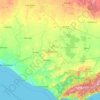
Click on a map to view its topography, its elevation and its terrain.


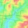
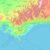
City of Melbourne
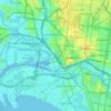
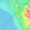
Melbourne's topography is characterized by a diverse landscape that transitions from flat coastal plains to rolling hills and mountainous regions. The city is situated at the northern end of Port Phillip Bay, where the terrain is predominantly flat, facilitating urban development. As one moves eastward, the…
Average elevation: 18 m
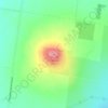
Australian Garden - Royal Botanic Gardens Cranbourne
Australia > Victoria > Melbourne
Average elevation: 70 m





























About this place
Melbourne • Aireys Inlet • Wodonga • Tallangatta • Strath Creek • Ballarat • Avalon • Naroghid • Stanhope • Benambra • Walkerville • Faraday • Yarragon • Mount Hotham Alpine Resort • Boort • St Arnaud • Nyora • Drysdale • Myrniong • Lara • Tolmie • Bullarto • Oxley • Nhill • Toora • Serpentine • Newmerella • Woodside • Port Welshpool • Rochester • Lakes Entrance • The Gurdies • Tenby Point • Pioneer Bay • Grahamvale • Swan Bay • Amphitheatre • Barwon Heads • Tarnagulla • Casterton • Rutherglen • Beech Forest • Beechworth • Kinglake • Betley • Orbost • Geelong