Goiás topographic maps
Click on a map to view its topography, its elevation and its terrain.
Goiânia
The "cerrado" landscape is characterized by extensive savanna formations crossed by gallery forests and stream valleys and includes various types of vegetation. Humid fields and "buriti" palm paths are found where the water table is near the surface. Alpine pastures occur at higher altitudes and mesophytic…
Average elevation: 795 m
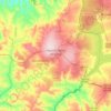
Águas Lindas de Goiás
Brazil > Goiás > Região Integrada de Desenvolvimento do Distrito Federal e Entorno
Average elevation: 1,063 m
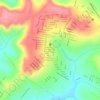
Lago Azul
Brazil > Goiás > Região Integrada de Desenvolvimento do Distrito Federal e Entorno > Novo Gama
Average elevation: 994 m
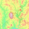
Caldas Novas
The most important study about the thermal ism of Caldas Novas and the Rio Quente was carried out by the state enterprise Furnas Centrais Elétricas, due to the possible influence of the Usina Hidrelétrica Corumbá I dam on the thermal water table of the region, which would be under the risk of cooling.…
Average elevation: 694 m
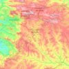
Corumbá de Goiás
Brazil > Goiás > Região Integrada de Desenvolvimento do Distrito Federal e Entorno
Due to variations in elevation, temperatures are quite varied. The average is around 26 °C; The rains obey a tropical pattern and are at their strongest in the period of October to March.
Average elevation: 1,003 m