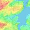
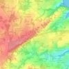
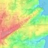
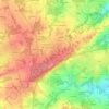
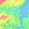
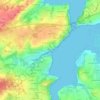
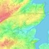
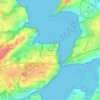
Click on a map to view its topography, its elevation and its terrain.
France > Bretagne > Côtes-d'Armor > Plouër-sur-Rance > La Basse Minotais
Average elevation: 34 m
France > Bretagne > Côtes-d'Armor > Plouër-sur-Rance
Average elevation: 32 m
Average elevation: 36 m
Average elevation: 57 m
Average elevation: 51 m
Average elevation: 64 m
Average elevation: 35 m
Average elevation: 30 m
Average elevation: 40 m
Average elevation: 24 m
Average elevation: 31 m
As an Amazon Associate, this site earns from qualifying purchases at no extra cost to you.