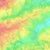
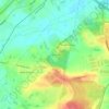
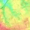
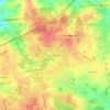
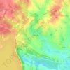
Click on a map to view its topography, its elevation and its terrain.
United States > South Carolina > Lexington County > Lexington
Average elevation: 107 m
United States > South Carolina > Lexington County > Pine Ridge
Average elevation: 66 m
United States > South Carolina > Lexington County
Average elevation: 119 m
Average elevation: 67 m
Average elevation: 126 m
United States > South Carolina > Lexington County > Batesburg-Leesville
Average elevation: 186 m
Average elevation: 152 m
Average elevation: 74 m
Average elevation: 164 m
Average elevation: 64 m
United States > South Carolina > Lexington County > Red Bank
Average elevation: 110 m
United States > South Carolina > Lexington County > Irmo
Average elevation: 94 m
Average elevation: 101 m
United States > South Carolina > Lexington County > Batesburg-Leesville > Leesville
Average elevation: 190 m
Average elevation: 115 m
United States > South Carolina > Lexington County > Cayce
Average elevation: 51 m
United States > South Carolina > Lexington County > Oak Crest
Average elevation: 104 m
Average elevation: 123 m
Average elevation: 69 m
Average elevation: 128 m
Average elevation: 133 m
Average elevation: 99 m
Average elevation: 79 m
As an Amazon Associate, this site earns from qualifying purchases at no extra cost to you.