
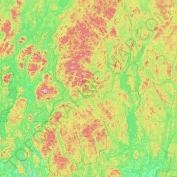
Réserve Faunique de Papineau-Labelle topographic map
Interactive map
Click on the map to display elevation.
About this map
Name: Réserve Faunique de Papineau-Labelle topographic map, elevation, terrain.
Average elevation: 290 m
Minimum elevation: 132 m
Maximum elevation: 600 m
Papineau trails, hiking, mountain biking, running and outdoor activities
Other topographic maps
Click on a map to view its topography, its elevation and its terrain.
Réserve écologique de la Forêt-la-Blanche
Canada > Quebec > Papineau > Mulgrave-et-Derry
Average elevation: 243 m