Geolocate

Vernet topographic map

Click on the map to display elevation.

About this map

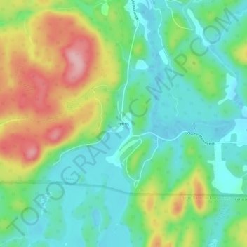
Name: Vernet topographic map, elevation, terrain.

Location: Vernet, Boileau, Papineau, Outaouais, Quebec, Canada (45.84382 -74.78757 45.88382 -74.74757)

Average elevation: 221 m

Minimum elevation: 163 m

Maximum elevation: 330 m

Papineau trails, hiking, mountain biking, running and outdoor activities

Other topographic maps

Click on a map to view its topography, its elevation and its terrain.

Lac au Loup

Canada > Quebec > Papineau > Boileau

Average elevation: 254 m

Gear up for your next adventure:

👟Sport Hiking Sandals - Breathable footwear for water crossings and camp rest
🕶️Polarized Sunglasses - Protect your eyes with durable polarized lenses
💡LED Camping Lantern - Illuminate your campsite with long-lasting lanterns
💡Compact LED Flashlight - Powerful and portable flashlight for outdoor use
Camping Tent - Weather-resistant tents suitable for 2 to 6 people

As an Amazon Associate, this site earns from qualifying purchases at no extra cost to you.