
Bendje topographic map
Interactive map
Click on the map to display elevation.
About this map
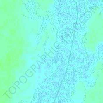
Name: Bendje topographic map, elevation, terrain.
Location: Bendje, Mandoul, Chad (8.50695 17.37975 8.50705 17.37985)
Average elevation: 370 m
Minimum elevation: 367 m
Maximum elevation: 375 m
Other topographic maps
Click on a map to view its topography, its elevation and its terrain.