Geolocate

Dourbali topographic map

Click on the map to display elevation.

About this map

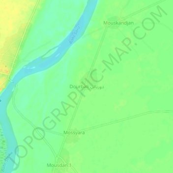
Name: Dourbali topographic map, elevation, terrain.

Location: Dourbali, Mandoul, Chad (8.32106 17.76999 8.36106 17.80999)

Average elevation: 379 m

Minimum elevation: 366 m

Maximum elevation: 393 m

Gear up for your next adventure:

🥾Hiking Shorts - Breathable shorts suitable for summer hikes
🚲MTB Frame Bag - Carry tools and maps directly on your bicycle frame
🧴First Aid Kit - Essential first aid supplies for outdoor emergencies
🔥Camping Stove - Portable stoves to cook outdoors with ease
👟Sport Hiking Sandals - Breathable footwear for water crossings and camp rest

As an Amazon Associate, this site earns from qualifying purchases at no extra cost to you.