
Bridgewater North topographic map
Interactive map
Click on the map to display elevation.
About this map
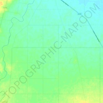
Name: Bridgewater North topographic map, elevation, terrain.
Location: Bridgewater North, Shire of Loddon, Victoria, Australia (-36.58920 143.94283 -36.50957 144.06295)
Average elevation: 130 m
Minimum elevation: 122 m
Maximum elevation: 146 m
Other topographic maps
Click on a map to view its topography, its elevation and its terrain.
Narre Warren North Retarding Basin (Melbourne Water)
Australia > Victoria > Melbourne
Average elevation: 76 m