Geolocate

Pyalong topographic map

Click on the map to display elevation.

About this map

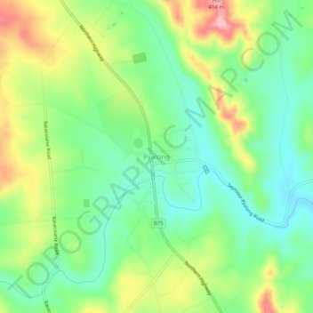
Name: Pyalong topographic map, elevation, terrain.

Location: Pyalong, Shire of Mitchell, Victoria, 3521, Australia (-37.13677 144.83982 -37.09677 144.87982)

Average elevation: 289 m

Minimum elevation: 230 m

Maximum elevation: 386 m

Gear up for your next adventure:

🧢Sun Hat - Wide-brim hat for sun protection
🔨Vehicle Emergency Tool - Safety tool for remote road trips to trailheads
🧥Waterproof Hiking Jacket - Protect yourself from rain and wind while hiking
🥾Trekking Boots - Durable boots for long-distance trekking
🧤Rechargeable Heated Gloves - Extreme warmth for Canadian winter expeditions

As an Amazon Associate, this site earns from qualifying purchases at no extra cost to you.