
Port Colborne topographic map
Interactive map
Click on the map to display elevation.
About this map
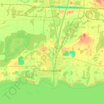
Name: Port Colborne topographic map, elevation, terrain.
Average elevation: 177 m
Minimum elevation: 156 m
Maximum elevation: 196 m
Niagara Region trails, hiking, mountain biking, running and outdoor activities
Other topographic maps
Click on a map to view its topography, its elevation and its terrain.
Queenston Heights Park
Canada > Ontario > Niagara Region > Niagara-on-the-Lake > Queenston
Average elevation: 139 m