
Welland River topographic map
Click on the map to display elevation.
About this map
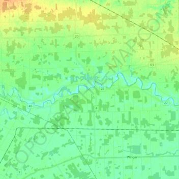
Name: Welland River topographic map, elevation, terrain.
Average elevation: 182 m
Minimum elevation: 171 m
Maximum elevation: 200 m
Niagara Region trails, hiking, mountain biking, running and outdoor activities
Other topographic maps
Click on a map to view its topography, its elevation and its terrain.
Wainfleet Lake Erie Public Access Beach
Canada > Ontario > Niagara Region > Wainfleet
Average elevation: 175 m