
Rochester topographic map
Interactive map
Click on the map to display elevation.
About this map
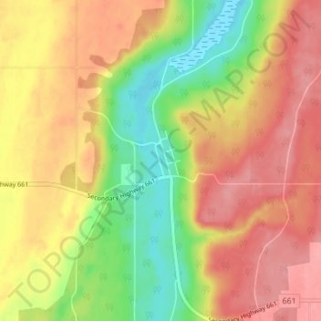
Name: Rochester topographic map, elevation, terrain.
Location: Rochester, Athabasca County, Alberta, T0G 1Z0, Canada (54.35331 -113.47740 54.39331 -113.43740)
Average elevation: 658 m
Minimum elevation: 605 m
Maximum elevation: 698 m