
Leeuwarden topographic map
Interactive map
Click on the map to display elevation.
About this map
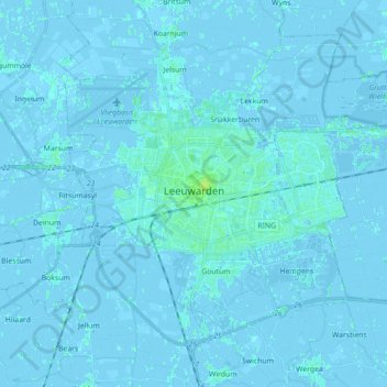
Name: Leeuwarden topographic map, elevation, terrain.
Location: Leeuwarden, Frisia, Netherlands (53.15830 5.72977 53.24110 5.90710)
Average elevation: 0 m
Minimum elevation: -4 m
Maximum elevation: 9 m