
Shamshi Thach topographic map
Interactive map
Click on the map to display elevation.
About this map
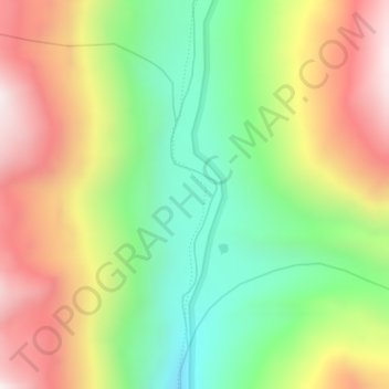
Name: Shamshi Thach topographic map, elevation, terrain.
Location: Shamshi Thach, Kullu, Kullu District, Himachal Pradesh, India (32.10856 77.47095 32.12856 77.49095)
Average elevation: 4,124 m
Minimum elevation: 3,722 m
Maximum elevation: 4,611 m
Other topographic maps
Click on a map to view its topography, its elevation and its terrain.
Katrain
India > Himachal Pradesh > Kullu
Katrain, Kullu, Kullu District, Himachal Pradesh, 175130, India
Average elevation: 1,700 m
Parvati valley view
India > Himachal Pradesh > Kullu
Parvati valley view, Chandrakheni to Bijli Mahadev, Kullu, Himachal Pradesh, 175101, India
Average elevation: 1,995 m
Beas River
India > Himachal Pradesh > Kullu > Badah
Beas River, Badah, Kullu, Himachal Pradesh, 175101, India
Average elevation: 2,218 m