
Cheadle topographic map
Interactive map
Click on the map to display elevation.
About this map
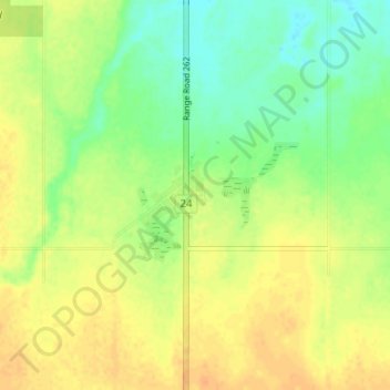
Name: Cheadle topographic map, elevation, terrain.
Location: Cheadle, Wheatland County, Alberta, T1P 1J6, Canada (50.99422 -113.55837 51.03422 -113.51837)
Average elevation: 991 m
Minimum elevation: 974 m
Maximum elevation: 1,004 m