
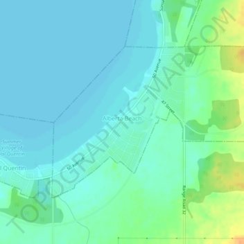
Village of Alberta Beach topographic map
Interactive map
Click on the map to display elevation.
About this map
Name: Village of Alberta Beach topographic map, elevation, terrain.
Average elevation: 728 m
Minimum elevation: 720 m
Maximum elevation: 754 m
Division No. 13 trails, hiking, mountain biking, running and outdoor activities