
Keg River topographic map
Interactive map
Click on the map to display elevation.
About this map
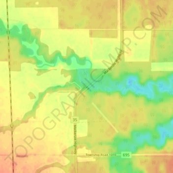
Name: Keg River topographic map, elevation, terrain.
Location: Keg River, County of Northern Lights, Alberta, Canada (57.72590 -117.64775 57.76590 -117.60775)
Average elevation: 401 m
Minimum elevation: 379 m
Maximum elevation: 414 m