
Tofield topographic map
Interactive map
Click on the map to display elevation.
About this map
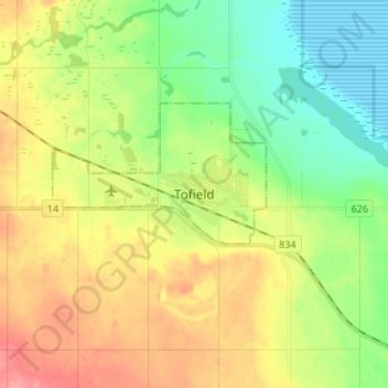
Name: Tofield topographic map, elevation, terrain.
Location: Tofield, Town of Tofield, Alberta, T0B 4J0, Canada (53.32991 -112.70865 53.40991 -112.62865)
Average elevation: 700 m
Minimum elevation: 667 m
Maximum elevation: 743 m