
Slave Lake topographic map
Interactive map
Click on the map to display elevation.
About this map
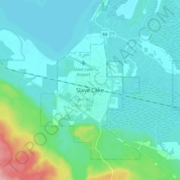
Name: Slave Lake topographic map, elevation, terrain.
Location: Slave Lake, Town of Slave Lake, Alberta, T0G 2A1, Canada (55.24107 -114.81179 55.32107 -114.73179)
Average elevation: 595 m
Minimum elevation: 571 m
Maximum elevation: 728 m
Town of Slave Lake trails, hiking, mountain biking, running and outdoor activities