
El Cajon topographic map
Interactive map
Click on the map to display elevation.
About this map
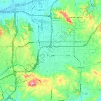
Name: El Cajon topographic map, elevation, terrain.
Location: El Cajon, San Diego County, California, United States (32.76751 -117.01121 32.83097 -116.89546)
Average elevation: 178 m
Minimum elevation: 91 m
Maximum elevation: 405 m
Other topographic maps
Click on a map to view its topography, its elevation and its terrain.