
Smoky Lake topographic map
Interactive map
Click on the map to display elevation.
About this map
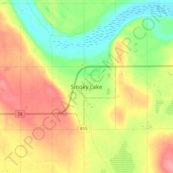
Name: Smoky Lake topographic map, elevation, terrain.
Location: Smoky Lake, Town of Smoky Lake, Alberta, T0A 3C0, Canada (54.07306 -112.51361 54.15306 -112.43361)
Average elevation: 631 m
Minimum elevation: 589 m
Maximum elevation: 680 m
Alberta trails, hiking, mountain biking, running and outdoor activities