
Bellis topographic map
Interactive map
Click on the map to display elevation.
About this map
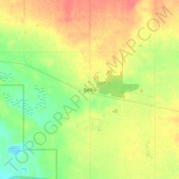
Name: Bellis topographic map, elevation, terrain.
Location: Bellis, Smoky Lake County, Alberta, T0A 3L0, Canada (54.12306 -112.17111 54.16306 -112.13111)
Average elevation: 668 m
Minimum elevation: 639 m
Maximum elevation: 692 m
Alberta trails, hiking, mountain biking, running and outdoor activities