
Sarsfield topographic map
Interactive map
Click on the map to display elevation.
About this map
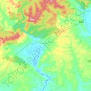
Name: Sarsfield topographic map, elevation, terrain.
Location: Sarsfield, Shire of East Gippsland, Victoria, Australia (-37.79685 147.66315 -37.71220 147.80832)
Average elevation: 76 m
Minimum elevation: -4 m
Maximum elevation: 237 m
Other topographic maps
Click on a map to view its topography, its elevation and its terrain.
Narre Warren North Retarding Basin (Melbourne Water)
Australia > Victoria > Melbourne
Average elevation: 76 m